Research Infrastructure & Facilities

The Coastal Research Center offers equipment, data, and expertise to support coastal research. Questions about accessing any of the following resources should be directed to station staff.
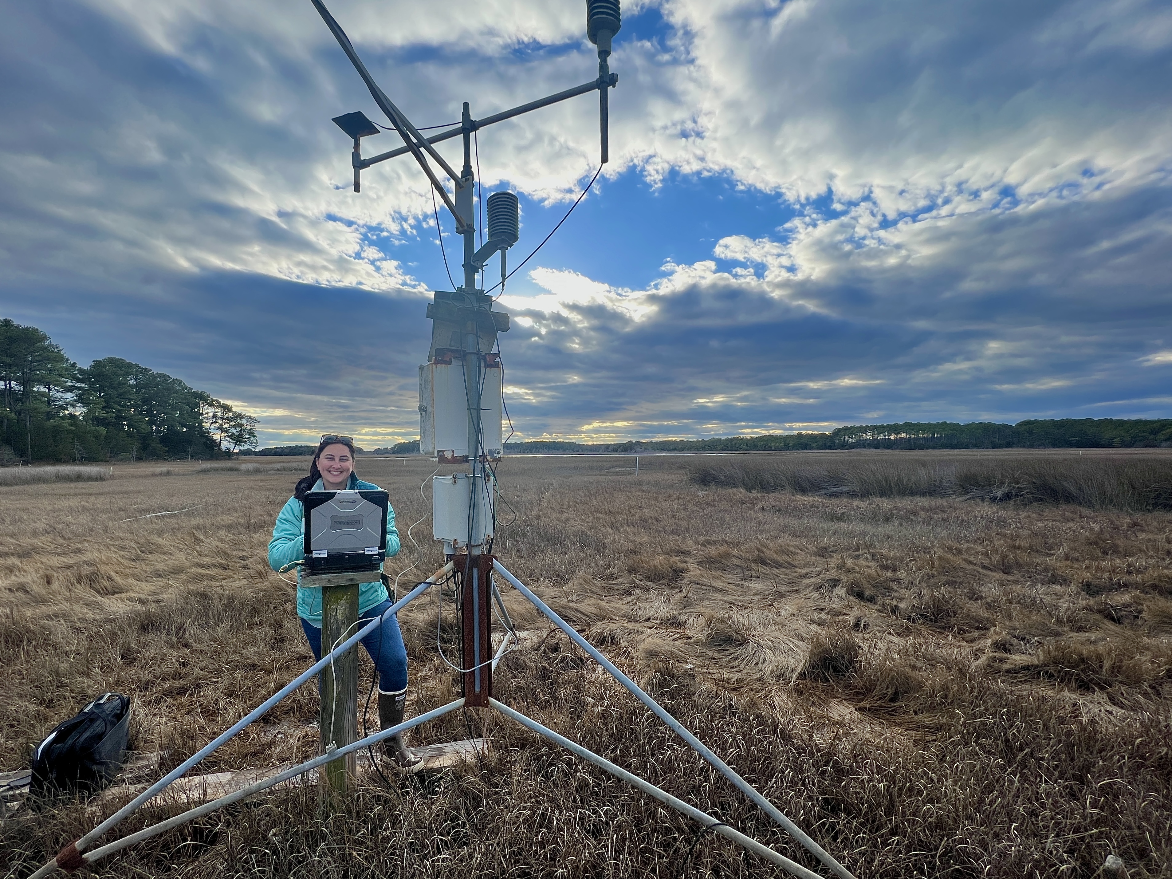
met station

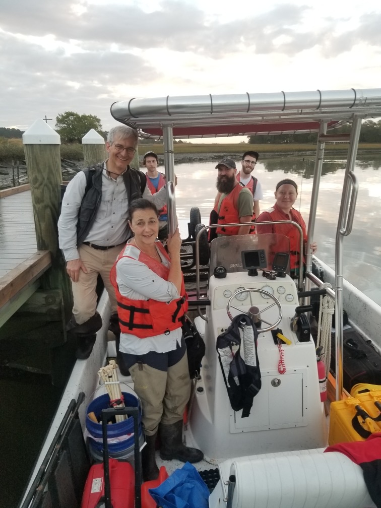
  • Fleet of shallow water research vessels (Carolina Skiffs, 21' -24') with skilled captains 

  • Deep-water dock with 10 slips. The floating dock portion accommodates 3 boats, with additional dedicated space for sample processing and instrument deployment  

  • Mesocosm array with unfiltered flow-through seawater (on dock without cover – optional shade) [add dimensions]. Available seasonally outside of freeze risk. 

  • Field trucks (UVA use only; may be used by others accompanied by station staff) 

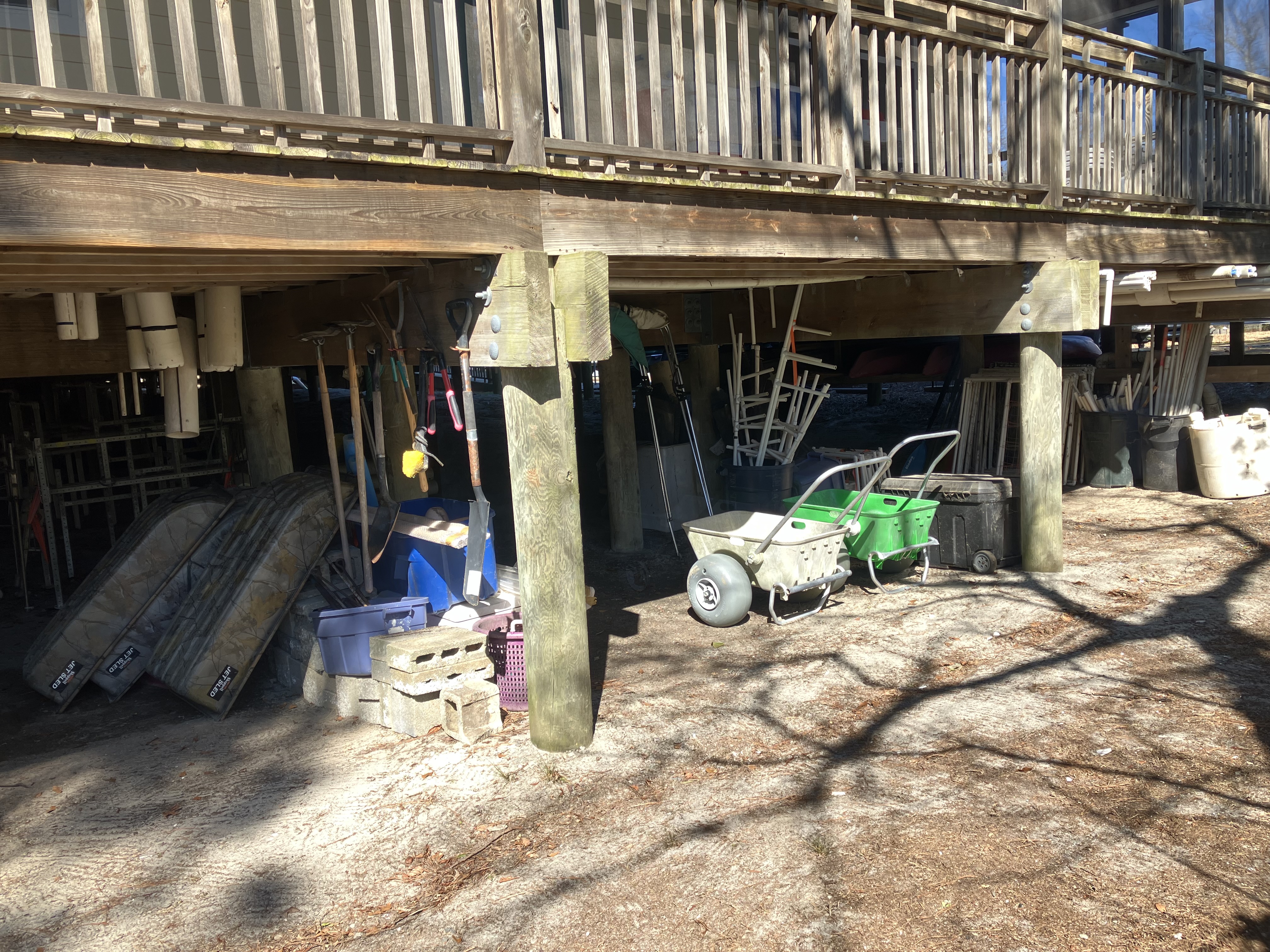
  • Hand tools (shovels, rakes, mallets, etc) 

  • Ice maker 

  • Coolers, buckets 

  • Plankton net and seine net (designated for general use) 

  • Aquaria: Tanks, Bubblers 

  • Communal use field safety gear :

    • Life jackets 

    • Dive boots 

    • Hip waders  

    • Wetsuits  

    • Snorkels 

    • Weight belts 

    • Gloves 

  • Deionized water (spigots in shared labs) 

  • Dissecting Scopes (6)  

  • Chest and upright freezers 

  • Refrigerators 

  • Vacuum filtration array (6 samples, with pump) 

  • Chemical storage lockers 

  • Fume hoods (2) 

  • Drying Ovens (8) and Muffle furnace (2)  

  • High-Precision Balances, all of which receive professional calibration annually: 

    • Ohaus Adventure 

    • Mettler Toledo XS104 

    • Mettler Toledo College 

    • Sartorius LA64001S 

  • Hitachi 200 UV-visible spectrophotometer 

  • Other lab supplies 

    • Glassware (beakers & flasks, graduated cylinders, petri dishes, BOD bottles) 

    • Weighboats and tins 

    • Dissecting kits 

    • Mortar and pestles 

    • Field sieves (for sediment, plankton, etc) 

    • pH meters, salinometers, oxygen meters, incubators 

  • A searchable archive of data collected near the CRC is available through the Organization of Biological Field Stations

  • Hourly meteorological data from Hog Island, Oyster Harbor, and Brownsville (Phillips creek)

  • Tide stations at Hog Island, at the CRC, and in Red Bank  (published on NOAA tide-prediction web pages)

  • Marsh Flux Tower, which hosts an Eddy Covariance System that measures the land-air exchange of CO2, heat, and water. The tower also hosts proximal remote sensing measurements of solar-induced chlorophyll fluorescence and surface reflectance in the visible and near-infrared wavelengths.  

  • Trimble  

    • The CRC facility is mounted with a Emlid Reach RS2 real-time kinematic (RTK) GNSS base station, and an Emlid receiver 

    • Trimble R10 Model 2 RTK GNSS Global Positioning System (GPS) 

    • Lasermark Rotary laser, and Pentax SC-5  

    • Laser Total Survey Station are provided on site. 

  • Drone-based data collection 

    • DJI Phantom4 (capable of 4K/60fps video and 20MP photo) 

    • DJI Phantom4 RTK (capable of collecting imagery with centimeter positioning data that can be used to create horizontally and vertically accurate 2d and 3d orthomosaics and photogrammetric models) 

    • DJI phantom 4 Multispectral RTK (capable of collecting images across a large area using a multispectral camera array) 

  • Primary data processing is conducted on site. Remote computer access is available for all post-survey processing.  

  • UVA has site licenses for ArcGIS, Matlab, and many other analytical software packages. 

field gear field